
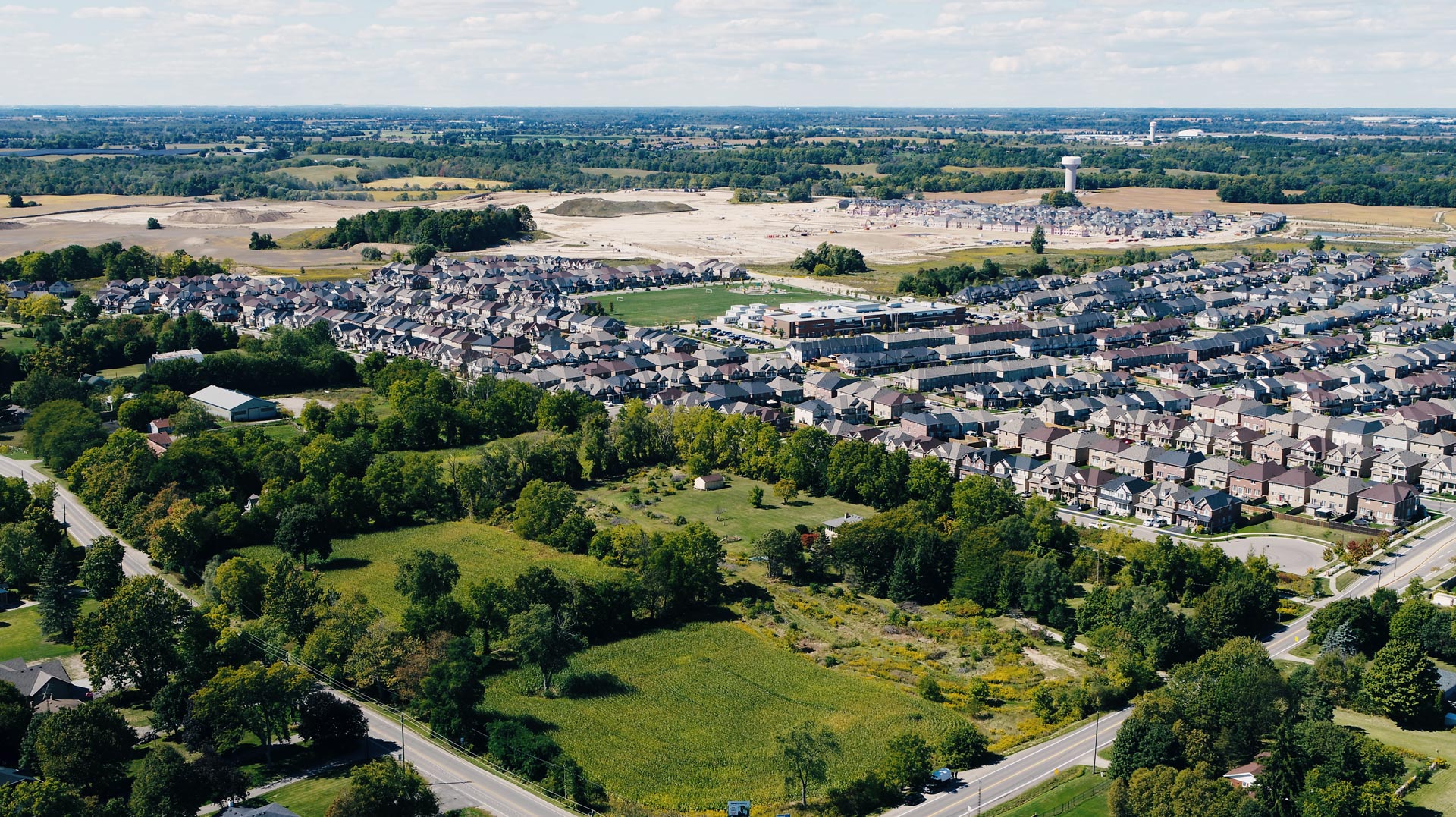
Mount Pleasant Village
Brantford, Ontario
Size
16 Acres
Designation
Trigger lands
Status
Planning justification
The subject lands consist of two adjacent parcels located at the north-east corner of Conklin Road and Mount Pleasant Road.
Collectively, the subject lands have an area of 64,121 square metres (6.4 hectares) and a frontage of approximately 98 metres along Conklin Road and 415 metres along Mount Pleasant Road.
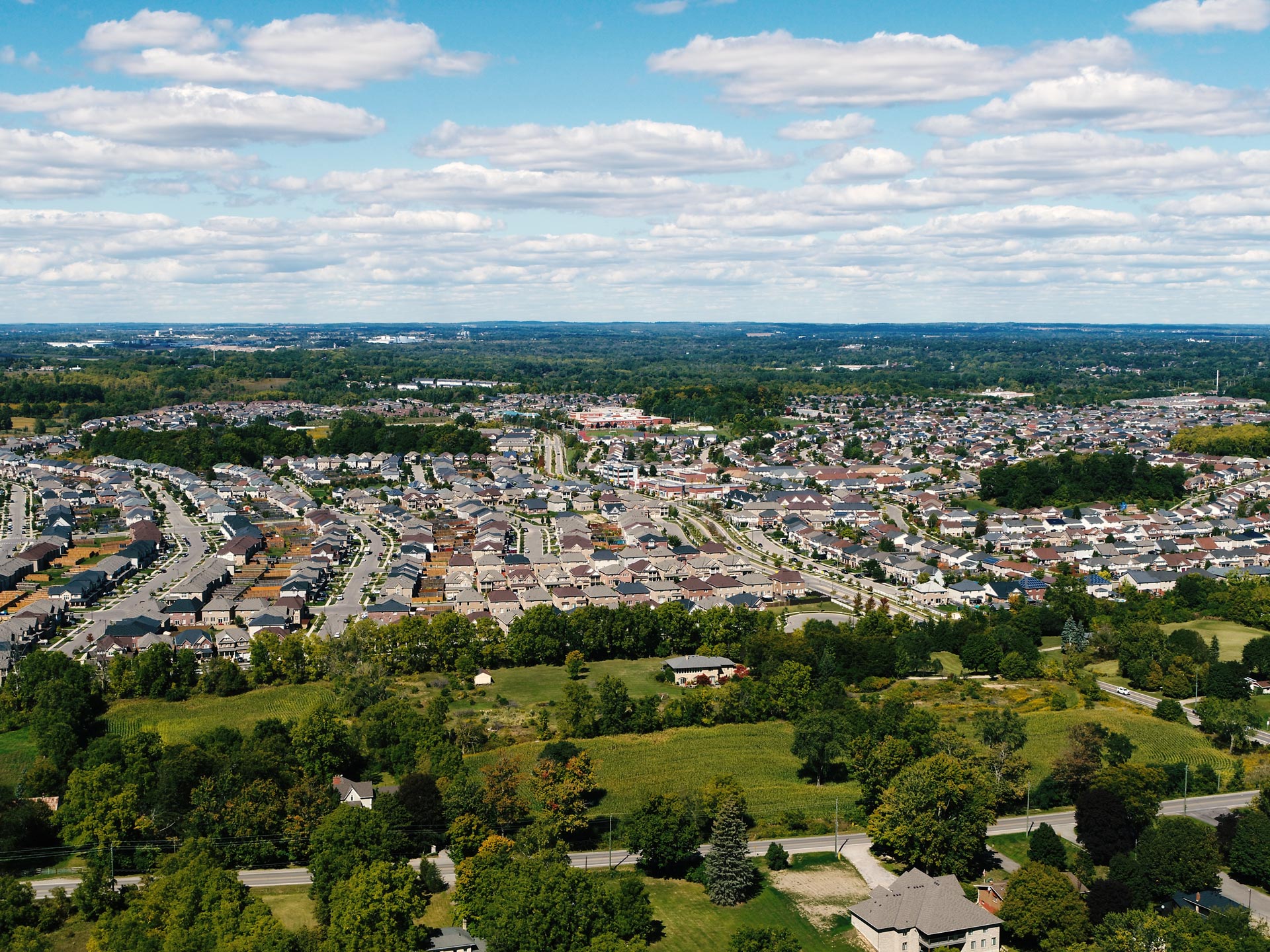
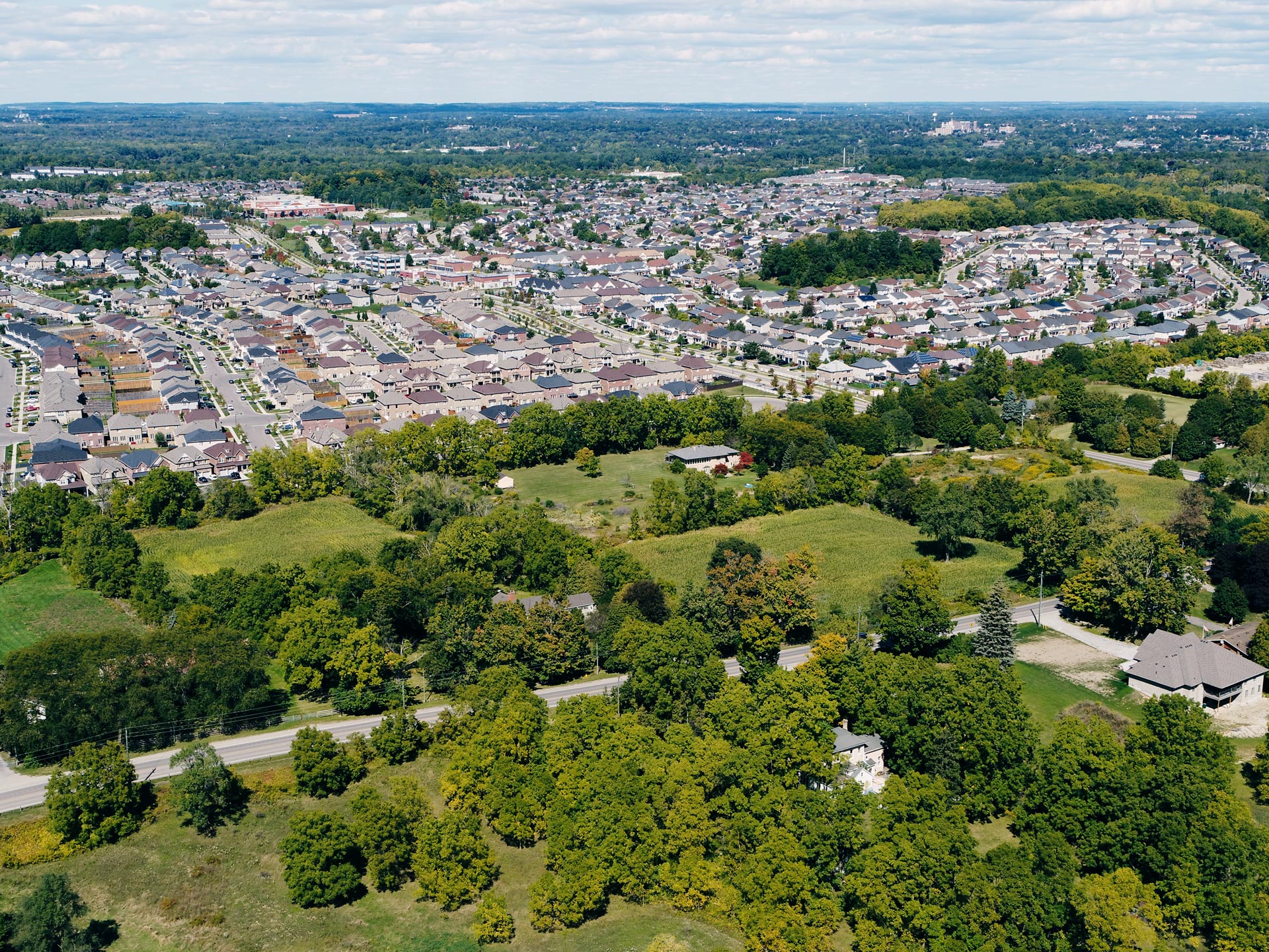
It is anticipated that the lands will be developed to meet intensification targets and accommodate forecasted growth for the City of Brantford.
Land
Address
Mount Pleasant Rd. and Conklin Road
Total area
64,121 sq. metres
Frontage
98 x 415 metres

The subject lands are abutting to the L.E. & N Trail on the north portion.
The subject lands are bordered by single detached residential lots fronting onto the opposite side of Mount Pleasant Road.
Proposal
Understanding of the subject lands, surrounding context and existing planning controls to support the re-designation and inclusion of the subject lands into the proposed Settlement Area Boundary.
Re-designation
Our development proposal necessitates a request for re-designation to the Neighbourhood/ Neighbourhood Corridor designations, in conjunction with the lands to the east and south and the inclusion of the entirety of the subject lands into the City of Brantford Settlement Area Boundary.
Targets
It is anticipated that the lands will be developed to meet intensification targets and accommodate forecasted growth for the City of Brantford.
Affordability
It is anticipated that majority of the proposed units will be affordable ownership and rental units, which will aid in accommodating affordable housing needs for the City of Brantford.